After a weird night of weird bars and weird beers (and one tasty sour beer), we checked out of our weird hotel in weird downtown Portland.
I could go into detail about why Portland was weird (BAD weird, to be clear) but I'll spare you and just say the city is lacking....
Anyway. While waiting for the car to be brought around, I ordered a breakfast sandwich from the cafe downstairs of the hotel, and this sandwich would be the one redeeming aspect of Portland. This sandwich was by far, the most delicious breakfast sandwich I've ever eaten in my entire life. Called the PDXWT (from Portland Penny Diner) , it featured duck bologna, sauerkraut, coffee mayo, egg and cheese. And it was insane.
Obviously, to balance out all the savory, our next stop was an international tourist attraction known for sweets.
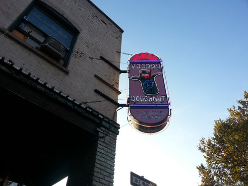
We decided to get two "real" choices (donuts we thought we'd actually like) as well as two "experimental" choices (donuts this place is known for that are more gimmicky than delicious.)
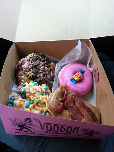
Our two "real" choices; the bacon maple bar (self explanatory) and the "Memphis mafia" (fried dough with peanut butter, chocolate, and bananas) were pretty great.
Our two "experiment" choices; the "Captain my captain" (captain crunch topping) and bubblegum donut (vanilla frosting, bubblegum "dust", and a piece of bubble gum) were interesting but nothing we could eat more than a bite of.
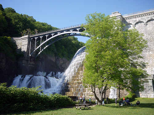
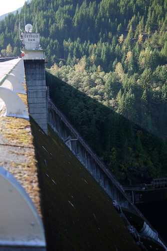
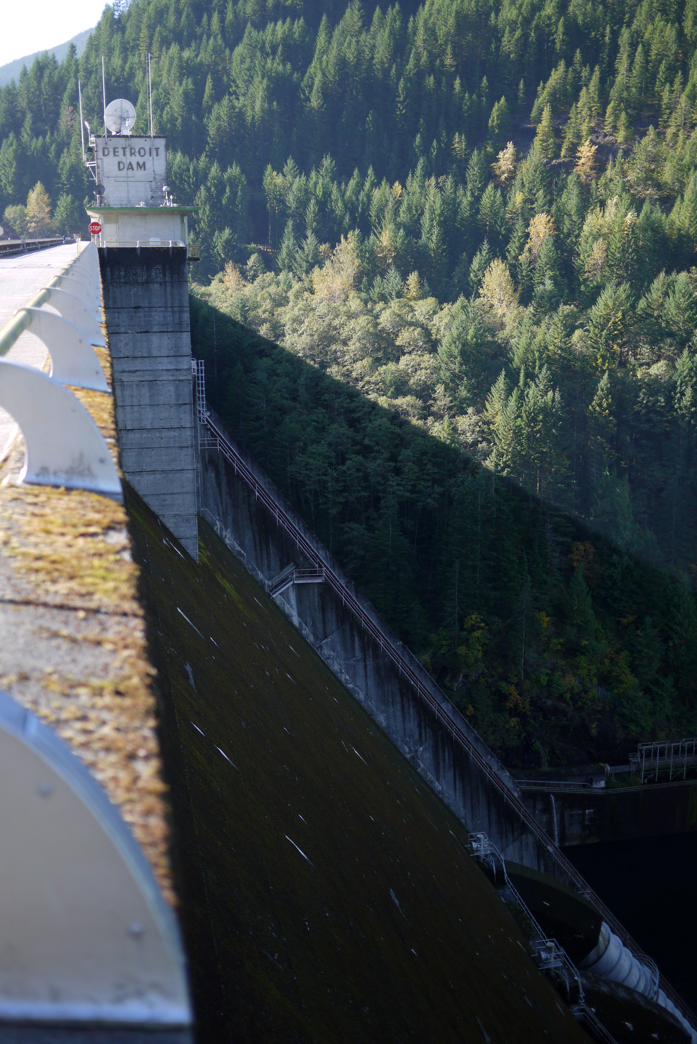
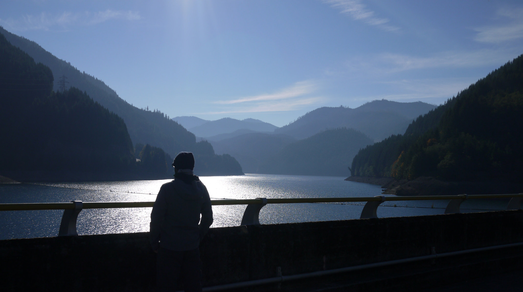
With our newly acquired sugar high, we drove off through the Oregon Cascades toward our next destination; Breitenbush Hot Springs. On our way, we passed signs for the Detroit Dam, and decided to stop and check it out. It was very cool and well worth the stop.
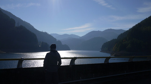
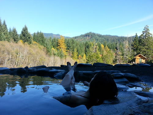
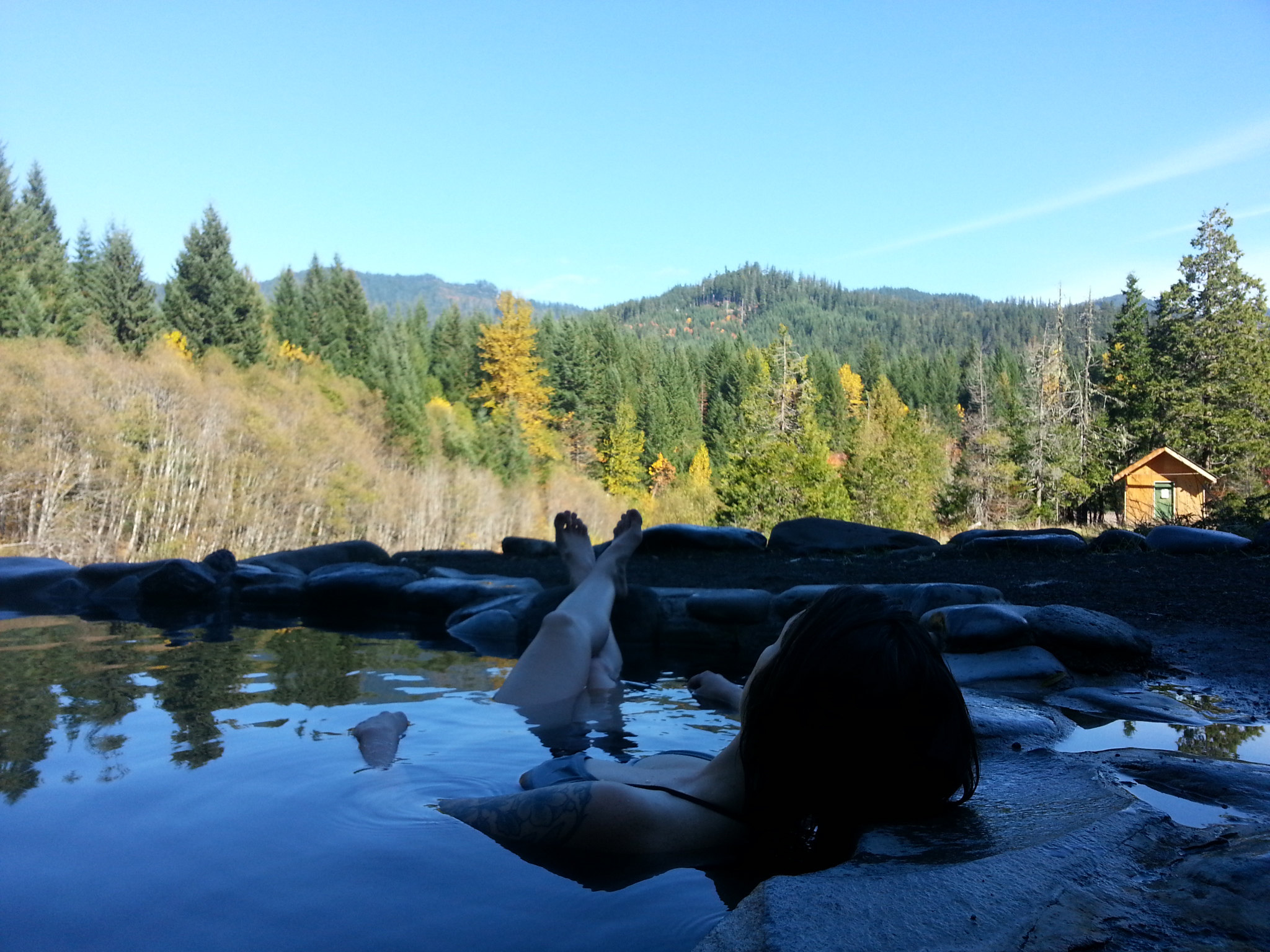
We eventually made it to the hot springs. Breitenbush required advanced reservations, and when we were planning this stop on the trip, we had a lot of hesitation about the resort. Their website makes it look like a commune of naked hippies, hanging out in hot springs, doing yoga, and eating vegan food all day --- which sounds perfectly wonderful --- but also hygienically questionable. Fortunately, Breitenbush is completely legit, with impeccable, spotless facilities (they empty and clean the tubs several times a day, and were vacuuming the library in the main lodge when we arrived.) We spent the late morning soaking in the 109º mineral springs overlooking the Cascades, rinsing in freezing cold mountain water, and steaming in a hot house, followed by a really great vegetarian lunch on the deck of the resort's main lodge.
After Breitenbush, we headed further south and east to Clear Lake. As of May 2010, there are actually 11 bodies of water in Oregon referred to as "Clear Lake, " but this specific one is the one nestled 3,000 ft above sea level in the Cascades of Linn County. Clear Lake gets its name from the crystal clear, almost transparent water that fills its basin. The water here is particularly clear for several reasons, mainly because it is spring fed, but also because its bottom is covered in ash from a volcanic eruption roughly 3,000 years ago (limiting the number of algae, etc that will grow in it.)
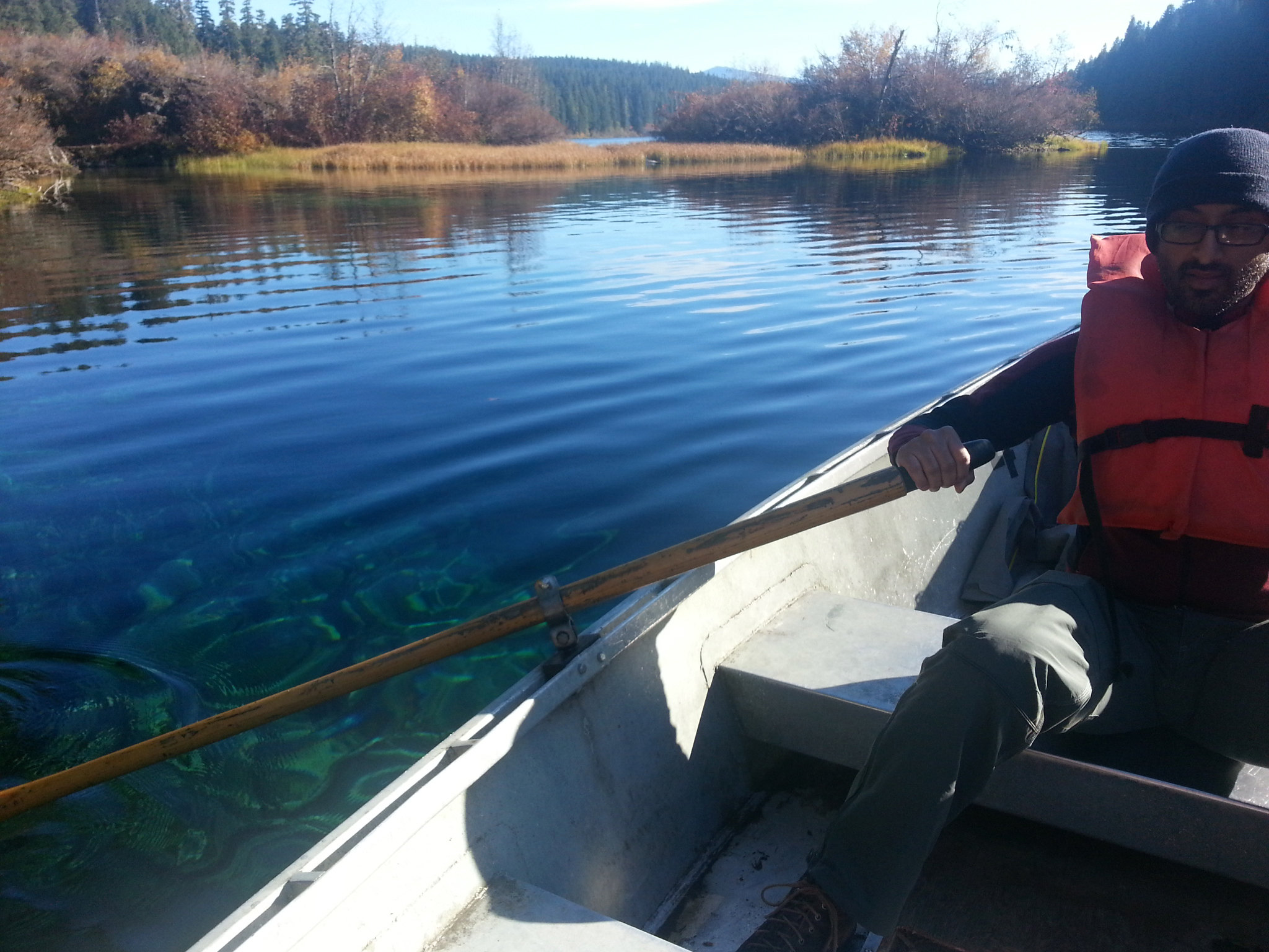
It's these same conditions that allow a stand of tree trunks to be preserved in their upright position, submerged under 100+ ft of water. These trunks are the remains of ancient trees that were inundated by the volcanic explosion. As you can see in the next few photos, the water is so clear, that even in the deepest parts, where the water measure 175 ft deep, you can still see straight down to the bottom.
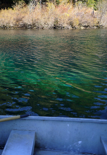
Now, anyone who knows me knows that I have two great fears in life (1) spiders and (2) things in water that wouldn't be there naturally (usually manmade things like pool lights, docks, shipwrecks, drains, etc) this fear gets multiplied exponentially in deeper water. While the spider thing has a pretty obvious explanation (they're gross, fast, and unpredictable), the water thing is something I've never been able to understand. I love water (I love scuba diving and snorkeling!! I'm a strong swimmer!!!), I love creepy things, and I love exploring... so why when those things are combined, am I rendered into a useless blob of pure fear? Who knows.
Anyway, I only mention this fear because the next few photos show Jay patiently rowing me around the lake in between my bouts of extreme fear and irrationality. I'm not exaggerating when I say I was completely out of my mind for the majority of this experience. I gave Jay unintelligible directions about where to row the boat, I couldn't make any decisions or form complete thoughts (Jay:"Allison, do you want to go back to solid land?" Me:"Ummm, I dunno? Coffee grounds?")
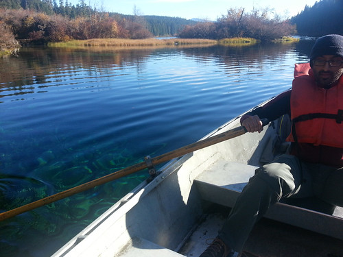
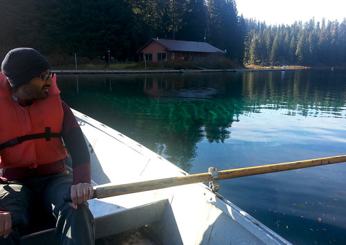
After these two shots, my photos got progressively blurrier as I basically closed my eyes and pointed my phone blindly at the water hoping I'd at least be able to see what I was sitting on top of at a later point in time when I wasn't so paralyzed with fear.
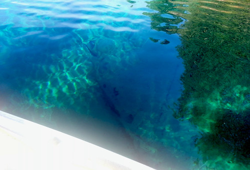
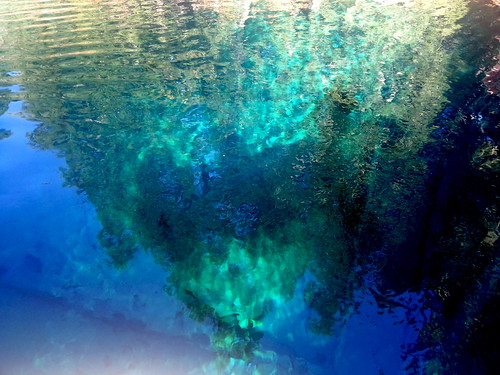
(Come on, you have to admit it's a little creepy to see the semi-recognizable outlines of trees and realize they're ONE HUNDRED SEVENTY FIVE feet down below the surface of the water.)
When we finally decided we'd had enough (me of the fear, and Jay of me complaining about my fear), we got back in the car and headed towards Bend.
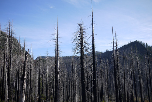
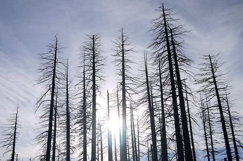
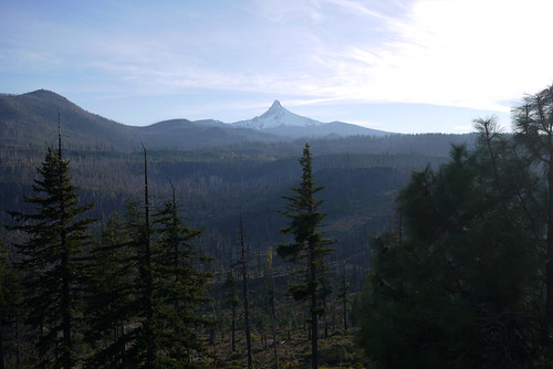
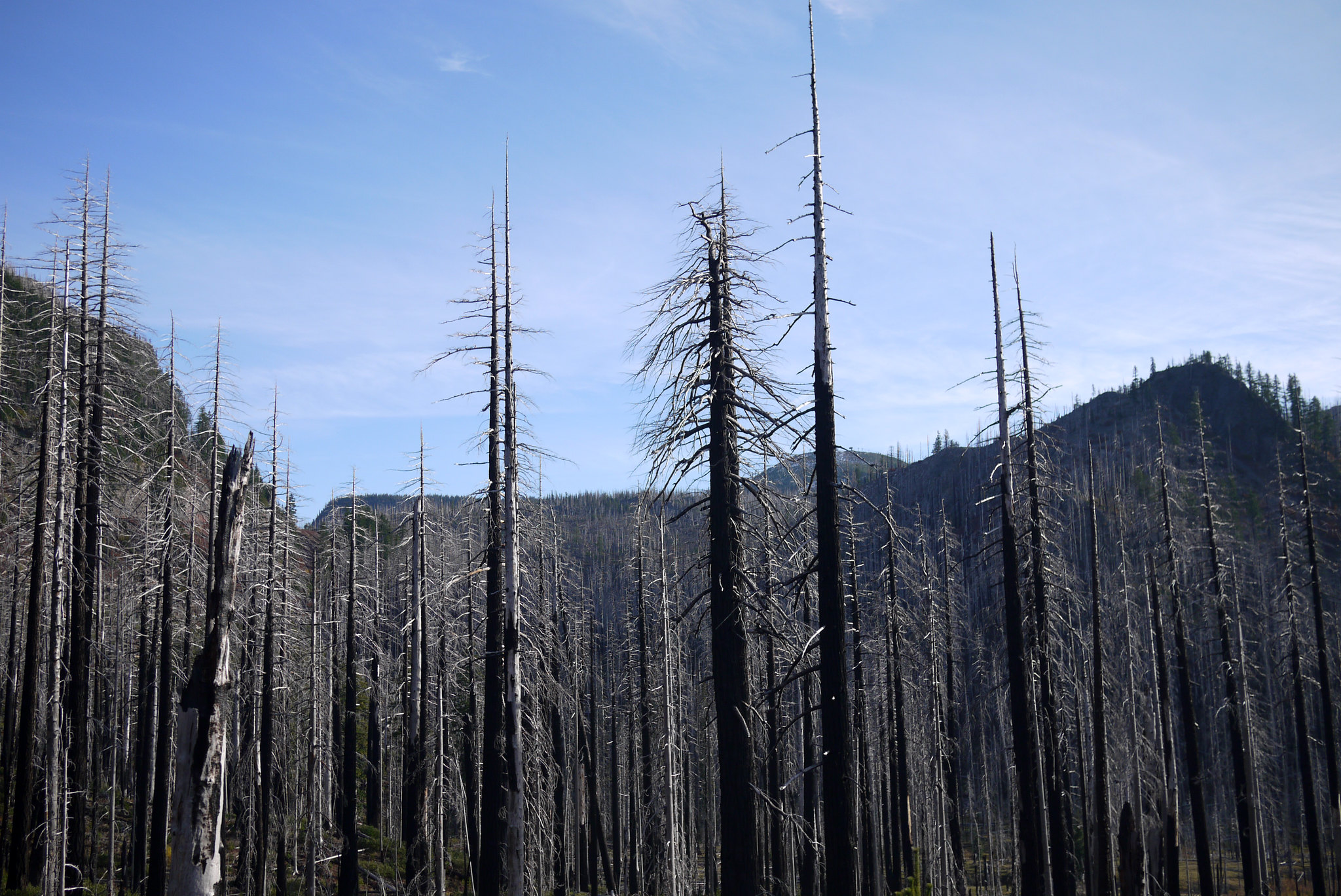
We passed through some beautiful forests in the Cascades, including a section that looked to have been involved in a fire in the relatively recent past.
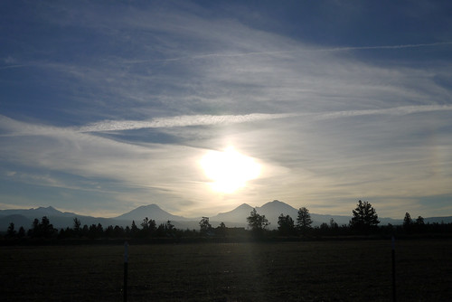
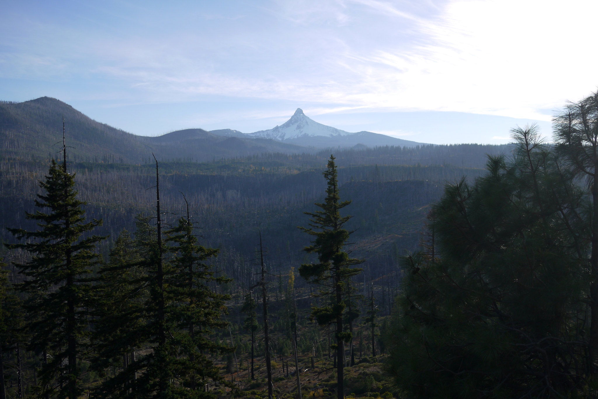
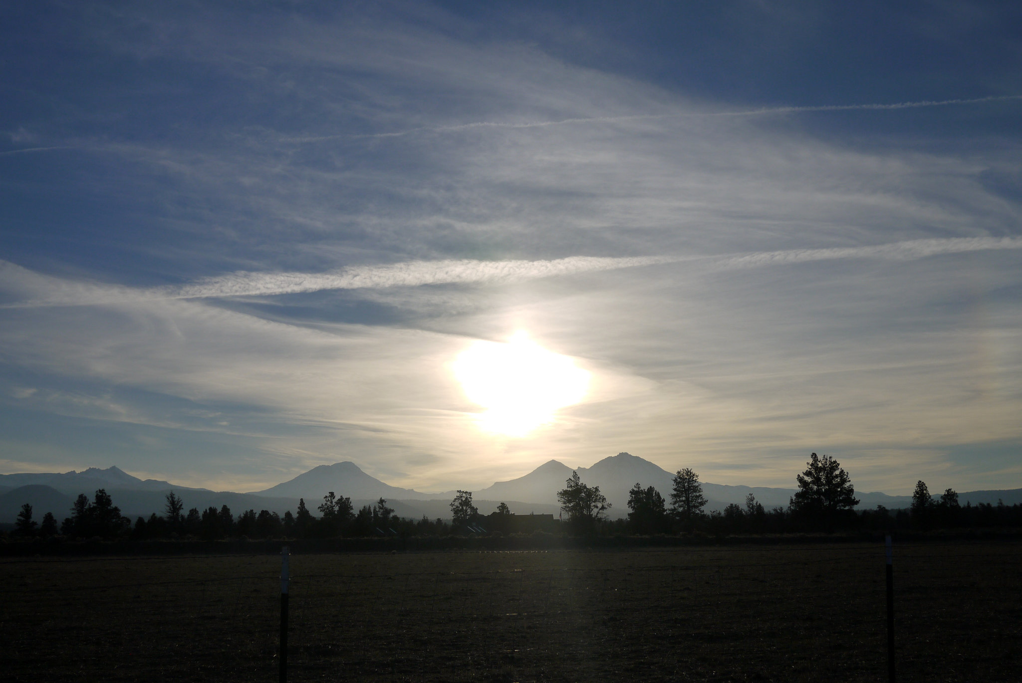
We also caught some great views of Mt.Washington and the surrounding peaks.
We made it to Bend a little later, and had an incredibly delicious (and affordable!) meal of duck fries (fries cooked in duck fat, served with truffle aioli), baby back ribs with truffled mac and cheese, and cocktails.
I could go into detail about why Portland was weird (BAD weird, to be clear) but I'll spare you and just say the city is lacking....
Anyway. While waiting for the car to be brought around, I ordered a breakfast sandwich from the cafe downstairs of the hotel, and this sandwich would be the one redeeming aspect of Portland. This sandwich was by far, the most delicious breakfast sandwich I've ever eaten in my entire life. Called the PDXWT (from Portland Penny Diner) , it featured duck bologna, sauerkraut, coffee mayo, egg and cheese. And it was insane.
Obviously, to balance out all the savory, our next stop was an international tourist attraction known for sweets.

We decided to get two "real" choices (donuts we thought we'd actually like) as well as two "experimental" choices (donuts this place is known for that are more gimmicky than delicious.)
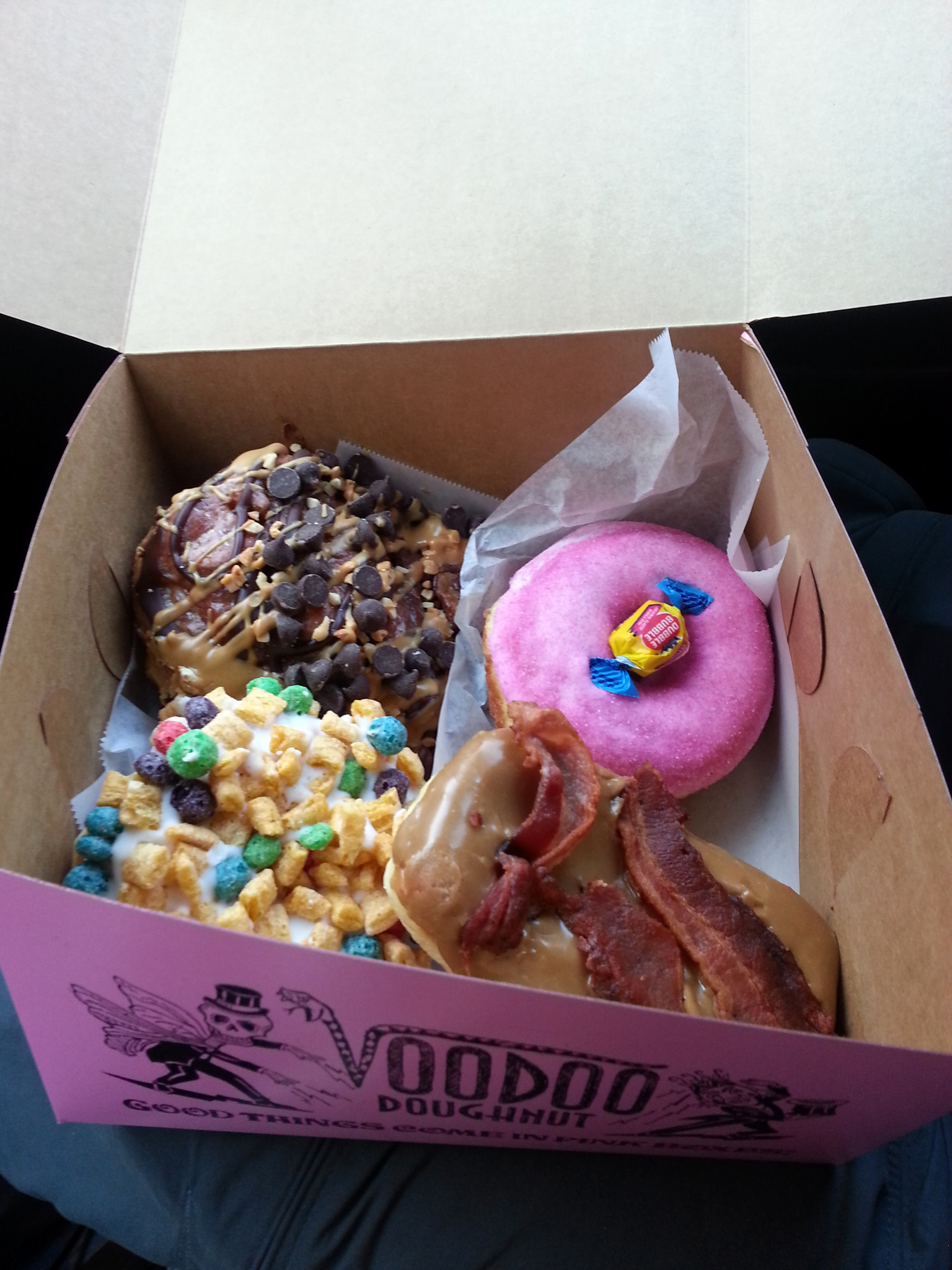
Our two "real" choices; the bacon maple bar (self explanatory) and the "Memphis mafia" (fried dough with peanut butter, chocolate, and bananas) were pretty great.
Our two "experiment" choices; the "Captain my captain" (captain crunch topping) and bubblegum donut (vanilla frosting, bubblegum "dust", and a piece of bubble gum) were interesting but nothing we could eat more than a bite of.
With our newly acquired sugar high, we drove off through the Oregon Cascades toward our next destination; Breitenbush Hot Springs. On our way, we passed signs for the Detroit Dam, and decided to stop and check it out. It was very cool and well worth the stop.
We eventually made it to the hot springs. Breitenbush required advanced reservations, and when we were planning this stop on the trip, we had a lot of hesitation about the resort. Their website makes it look like a commune of naked hippies, hanging out in hot springs, doing yoga, and eating vegan food all day --- which sounds perfectly wonderful --- but also hygienically questionable. Fortunately, Breitenbush is completely legit, with impeccable, spotless facilities (they empty and clean the tubs several times a day, and were vacuuming the library in the main lodge when we arrived.) We spent the late morning soaking in the 109º mineral springs overlooking the Cascades, rinsing in freezing cold mountain water, and steaming in a hot house, followed by a really great vegetarian lunch on the deck of the resort's main lodge.
After Breitenbush, we headed further south and east to Clear Lake. As of May 2010, there are actually 11 bodies of water in Oregon referred to as "Clear Lake, " but this specific one is the one nestled 3,000 ft above sea level in the Cascades of Linn County. Clear Lake gets its name from the crystal clear, almost transparent water that fills its basin. The water here is particularly clear for several reasons, mainly because it is spring fed, but also because its bottom is covered in ash from a volcanic eruption roughly 3,000 years ago (limiting the number of algae, etc that will grow in it.)
It's these same conditions that allow a stand of tree trunks to be preserved in their upright position, submerged under 100+ ft of water. These trunks are the remains of ancient trees that were inundated by the volcanic explosion. As you can see in the next few photos, the water is so clear, that even in the deepest parts, where the water measure 175 ft deep, you can still see straight down to the bottom.
Now, anyone who knows me knows that I have two great fears in life (1) spiders and (2) things in water that wouldn't be there naturally (usually manmade things like pool lights, docks, shipwrecks, drains, etc) this fear gets multiplied exponentially in deeper water. While the spider thing has a pretty obvious explanation (they're gross, fast, and unpredictable), the water thing is something I've never been able to understand. I love water (I love scuba diving and snorkeling!! I'm a strong swimmer!!!), I love creepy things, and I love exploring... so why when those things are combined, am I rendered into a useless blob of pure fear? Who knows.
Anyway, I only mention this fear because the next few photos show Jay patiently rowing me around the lake in between my bouts of extreme fear and irrationality. I'm not exaggerating when I say I was completely out of my mind for the majority of this experience. I gave Jay unintelligible directions about where to row the boat, I couldn't make any decisions or form complete thoughts (Jay:"Allison, do you want to go back to solid land?" Me:"Ummm, I dunno? Coffee grounds?")
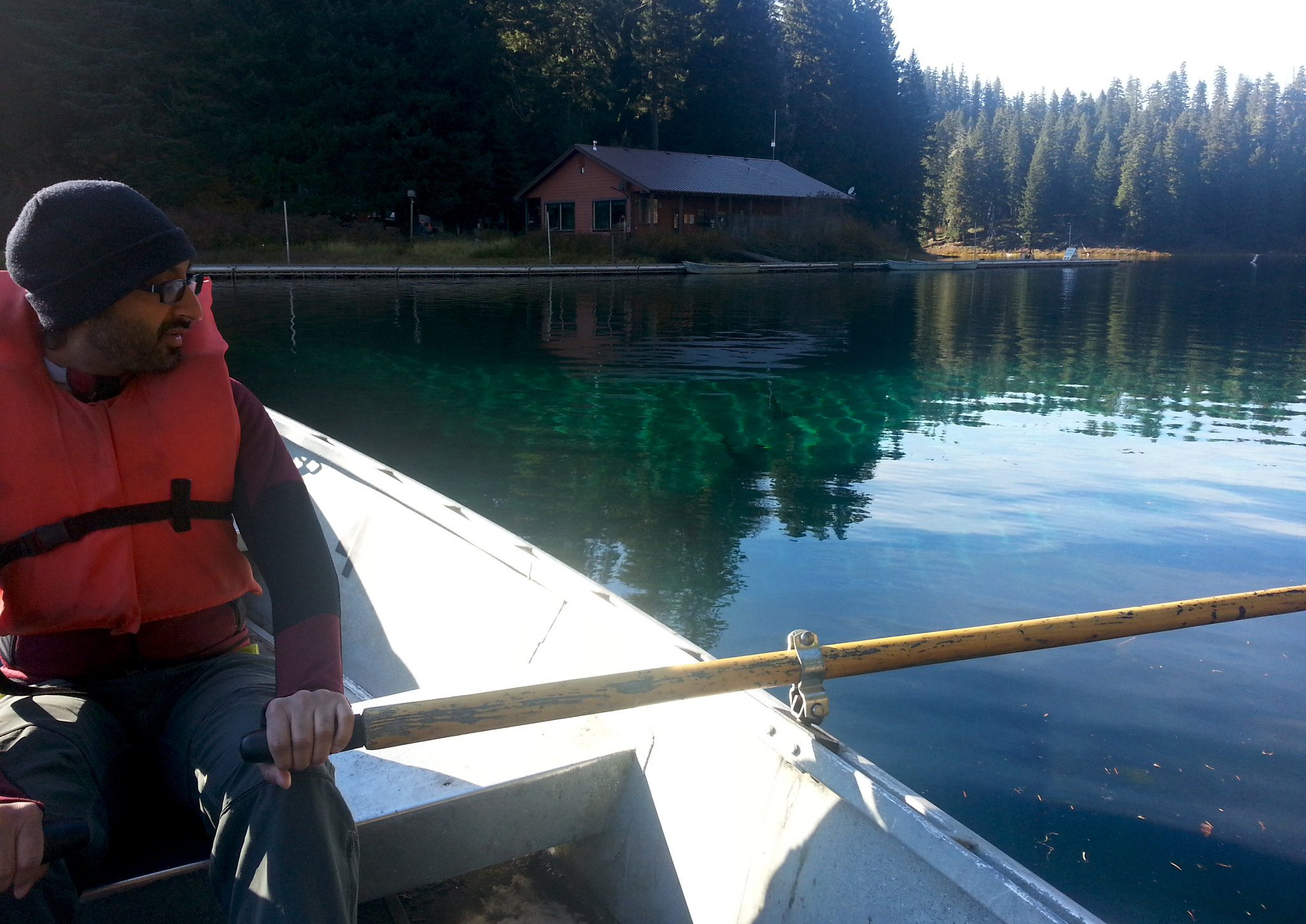
After these two shots, my photos got progressively blurrier as I basically closed my eyes and pointed my phone blindly at the water hoping I'd at least be able to see what I was sitting on top of at a later point in time when I wasn't so paralyzed with fear.

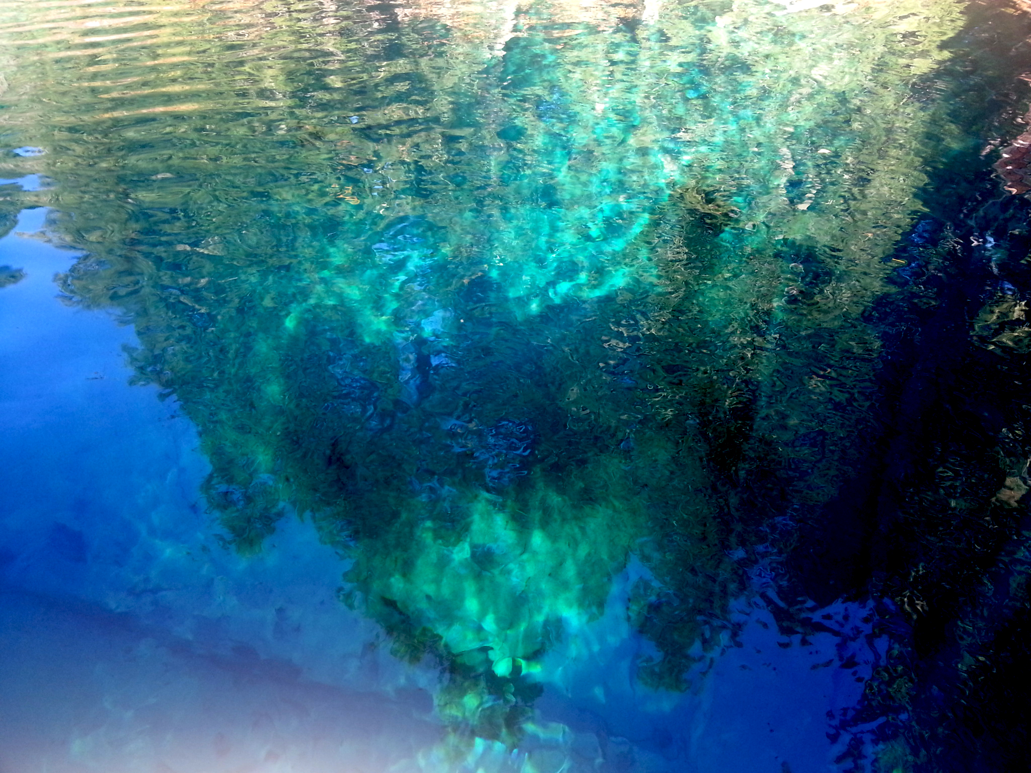
(Come on, you have to admit it's a little creepy to see the semi-recognizable outlines of trees and realize they're ONE HUNDRED SEVENTY FIVE feet down below the surface of the water.)
When we finally decided we'd had enough (me of the fear, and Jay of me complaining about my fear), we got back in the car and headed towards Bend.
We passed through some beautiful forests in the Cascades, including a section that looked to have been involved in a fire in the relatively recent past.

We also caught some great views of Mt.Washington and the surrounding peaks.
We made it to Bend a little later, and had an incredibly delicious (and affordable!) meal of duck fries (fries cooked in duck fat, served with truffle aioli), baby back ribs with truffled mac and cheese, and cocktails.